
It’s the middle of the night, and there’s an accident involving a car hitting a Noble REMC pole. Hundreds of our members are without power and rely on us to restore it as soon as possible.
That is not the time to wonder what kind of pole to load up and replace on site.
The work that our GIS Coordinator John Strzempka is doing this year is ensuring we’re ready with that information when it’s needed.
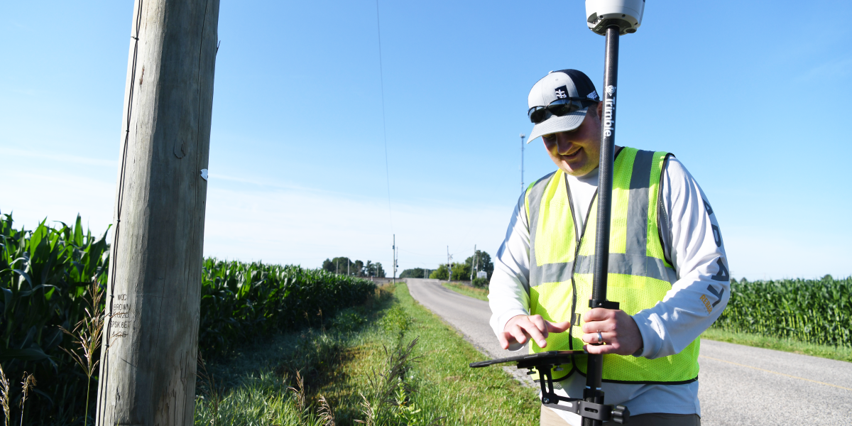
Strzempka is taking inventory of every pole on our lines — from its exact GPS location, which is accurate within 2 inches, to its height and class, to the equipment attached to it, such as transformers, lines, lights, and fuses. He inputs that data into a software program that allows our operations team to find that information at a moment’s notice.
It’s been a project years in the making, marrying Strzempka’s experience in geographic information systems (GIS) with an education in staking procedures.
With our best estimate, Strzempka will be responsible for recording the location of more than 22,000 poles. Since he began this project in March, he’s been able to input data on about 1,500.
It’s a manual job, walking along county roads with a large stick and iPad, and it took Strzempka a bit to find a good rhythm.
“When I first started out, I’d park the van on the side of the road, and then I’d do five or six poles. Then I’d hop back in the van, and I’d drive and do another couple,” Strzempka said. “Then one day I just decided I’m going to park at the intersection of the mile and walk the full mile and walk back. It seems a lot quicker that way. Plus, [the stick] is kind of a pain in the butt to get in and out of the back of the van.”
It’s a good day when he’s able to get six hours of recording in, depending on weather, scheduling, and other duties, which usually results in walking upwards of eight or nine miles a day.
But it’s worth it as the opportunities this data provides are endless and make everyone’s job more efficient, giving employees more time to focus on other things, Strzempka said.
The data is also available as soon as he pushes a button, making the project’s benefits instantaneous.
“I could take a GPS point right now, and those back at the office could look it up and see what I just did,” Strzempka said. “It’s in real time.”
And as new houses and businesses are built, and poles and lines are added, Strzempka can add that information as it comes online.
It’s a significant use of Strzempka’s skills, and he’s enjoyed getting out on our lines and interacting with some of our members along the way.
“Most people, if they’re out in their yard, they’ll come up to me and ask me what I’m doing. Some of them think it’s cool. Some are like ‘Huh?’” said Strzempka. “Everyone that I’ve interacted with has been very nice. They’re just curious, that’s all — I get it. ‘What’s this strange man doing out here with a pole?’”